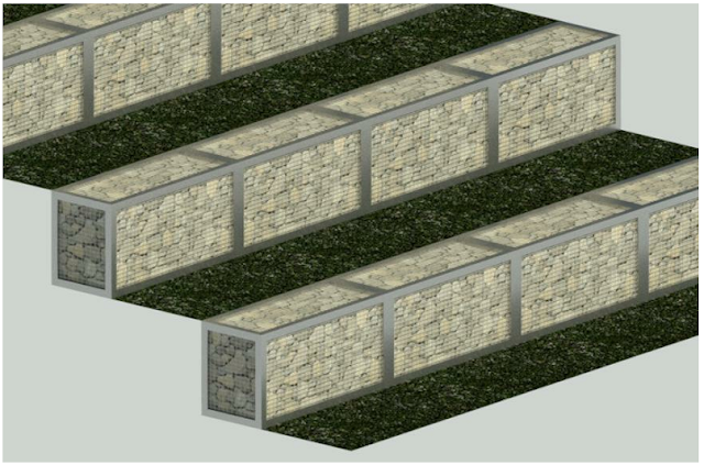
The image below depicts the finished terrain, complete with gabions. Let's see how we can achieve this result.
First of all, lets go through the basic setup of our topography. I love reference planes and therefore we need to create vertical and horizontal reference planes to guide us in the section of topography we want to work with. This site will step down 500mm every 1000mm.
You will notice however, that we cannot place toposurface points with different elevations exactly above, or below each other.
An easy fix for this is to move the lower or higher toposurface points with 0.8mm horizontally to create the terrace
Have a great week folks!


